Predicting Landscape Types
You can try it out yourself at the bottom of the page.
After going through lesson 3 of the awesome fastai course (part 1) I did this as a practice.
28 images of locations in and around Germany were used for training. Training time was only a few minutes. Considering there was so little input and training time the accuracy is quite surprising.
The images were taken from Google Maps and the masks were made with a new "image segmentation dataset creation tool" that I'm currently developing (link).
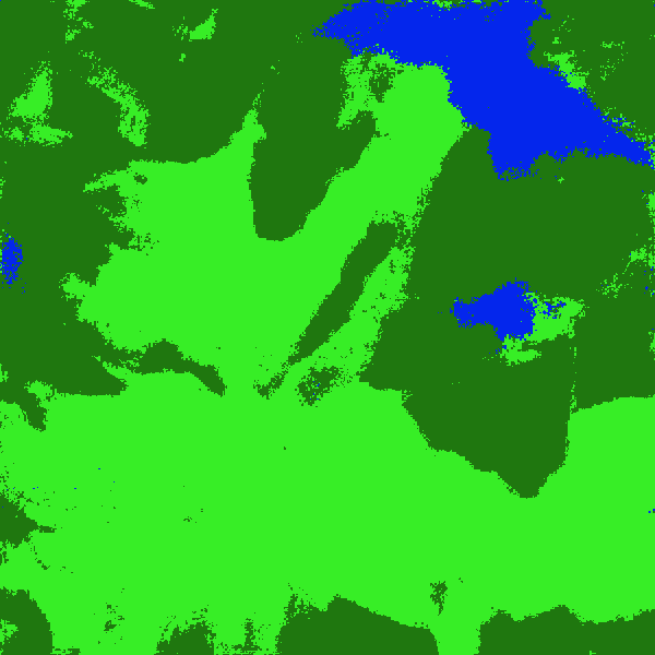
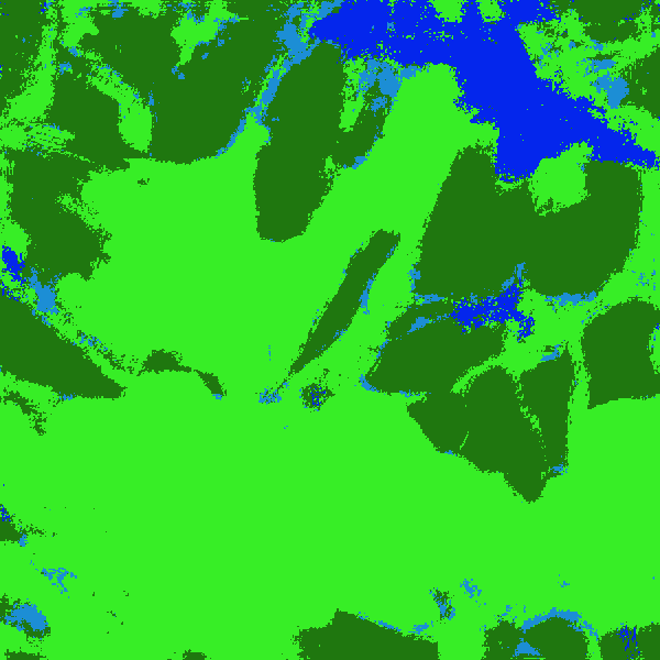
The model can decide between fields, forest and urban areas. Sometimes water is predicted correctly as well.
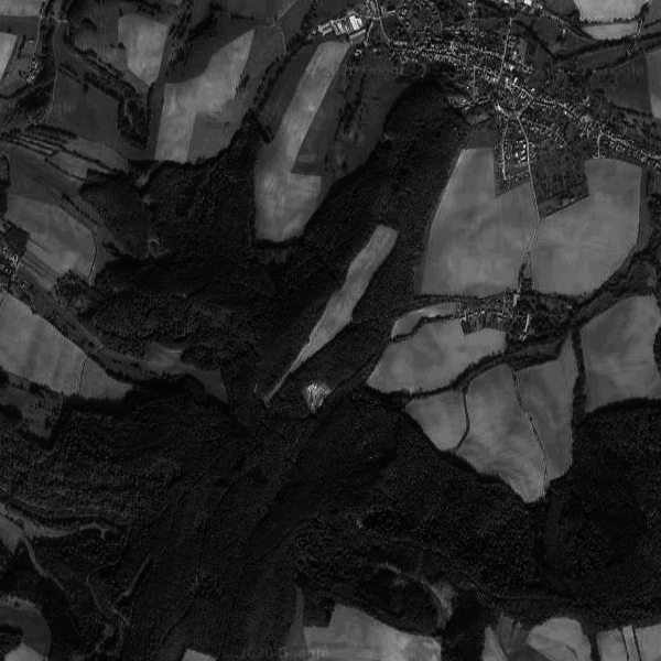
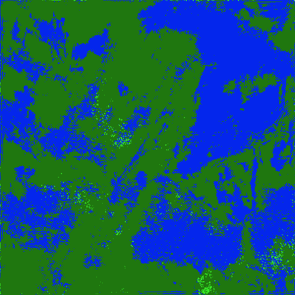
Example
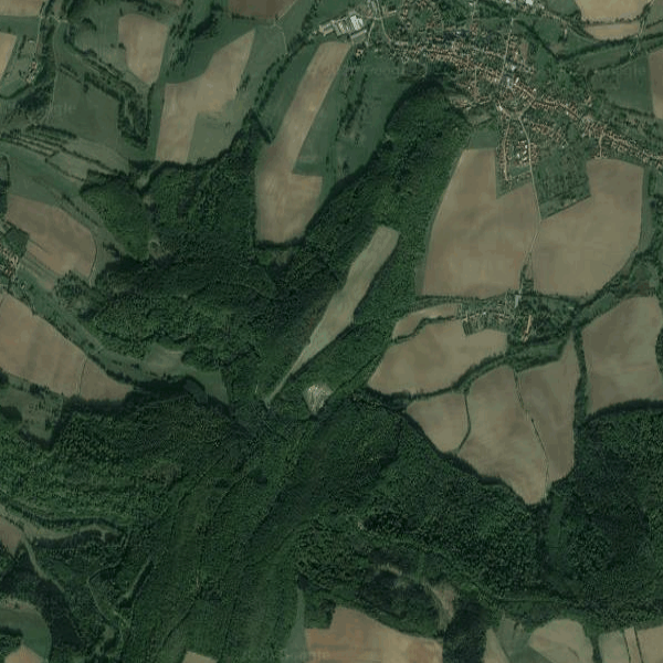
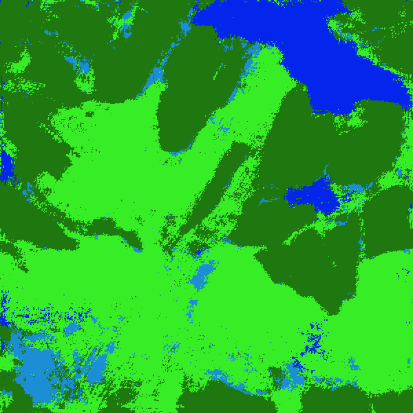
dark green = forest; light green = fields; rich blue = urban; less rich blue = water
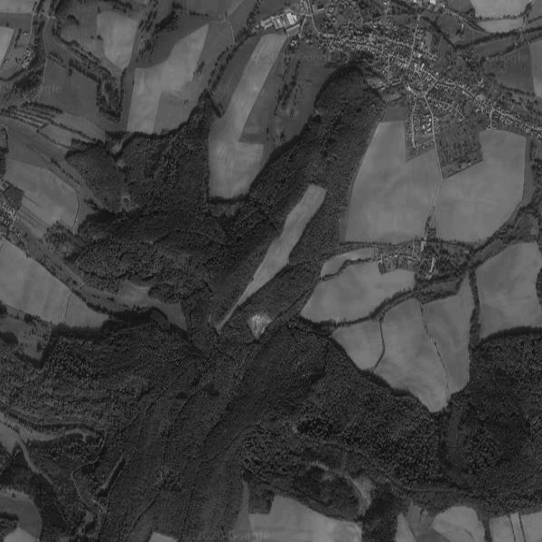
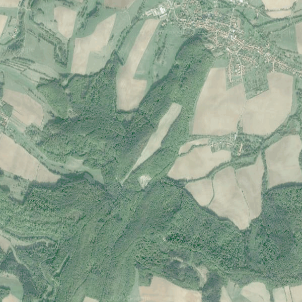
A location in Germany.
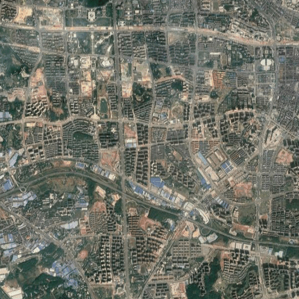
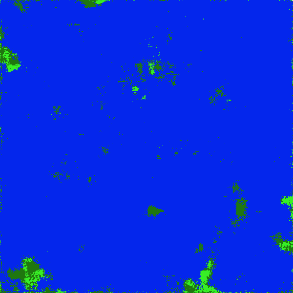
A location in China.
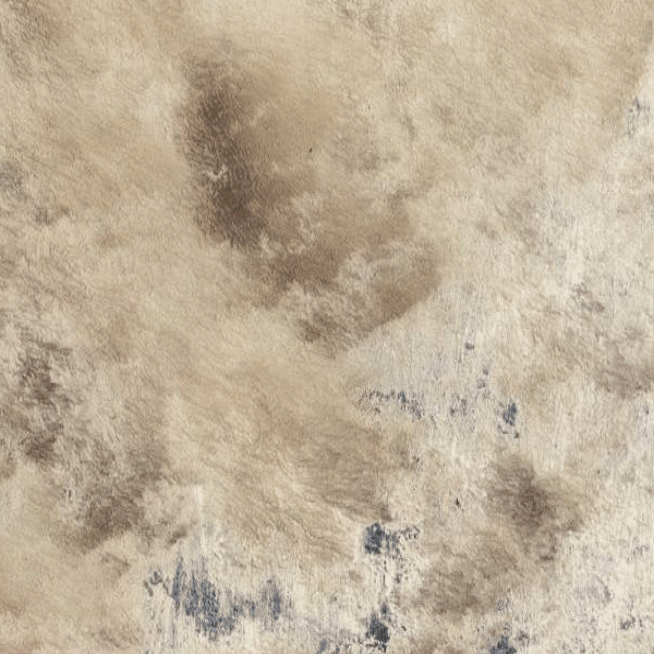
A desert.
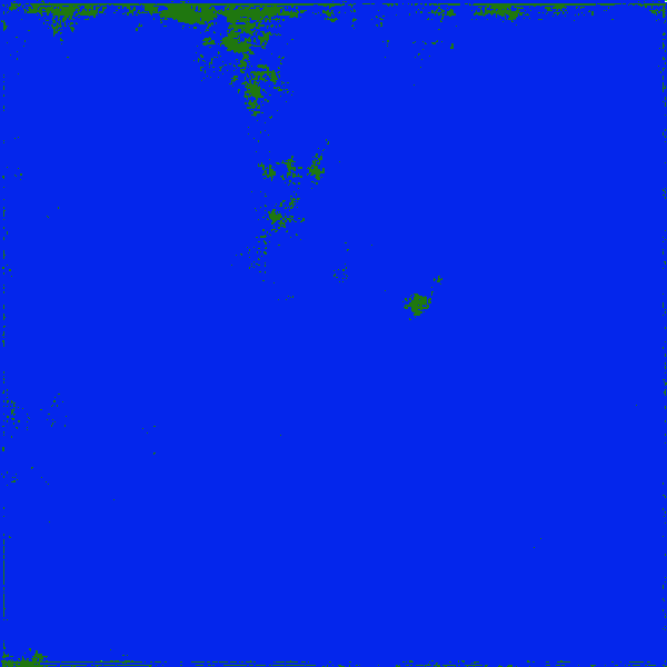
It's an urban area! Let's see whether we can find out which features the model looks for.


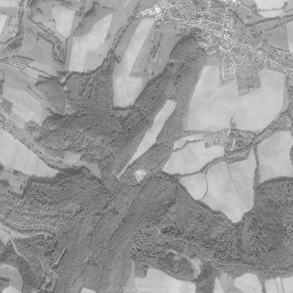

The colors don't seem to be very important for the prediction. Instead values are the main features. This is especially evident in the last two test images where the whole image was brightened and the colored image showed no improvement in accuracy over the grayscale version.
Maybe learning from so few examples can be improved when the model is fed with gradually more difficult examples. Difficult meaning that the features are more obscure but still so that a human can recognize them.
A human brain is exposed to many different versions of the image of an object as well, because of varying lighting conditions.
I'll do some experiments.
Try it out yourself
Instructions
Choose a location and press "generate image" at the bottom.
In the dialog that opens choose to either use the image or take a new one.
After selecting an image it will open to the right and the model will predict the types of landscape.
Hover the image to see the predicted classification.
Some locations you might try
These were not included during training.